2017-08-05 · 06:54 · Courmayeur-Champex-Vallorcine
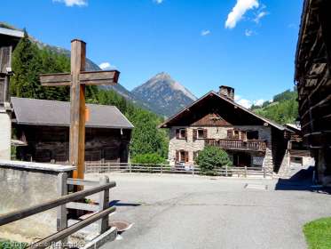
2017-08-05 · 07:47 · Courmayeur-Champex-Vallorcine
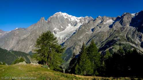
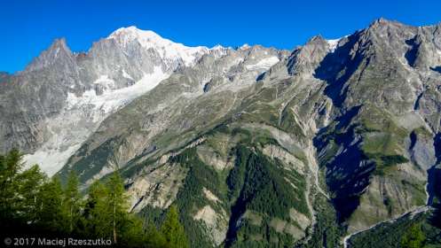
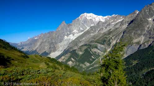
2017-08-05 · 07:56 · Courmayeur-Champex-Vallorcine
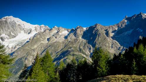
2017-08-05 · 07:56 · Courmayeur-Champex-Vallorcine
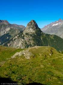
2017-08-05 · 07:56 · Courmayeur-Champex-Vallorcine

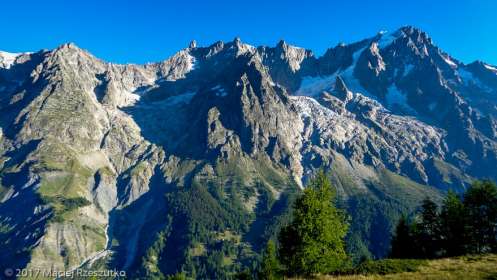
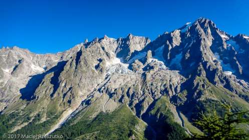
2017-08-05 · 07:57 · Courmayeur-Champex-Vallorcine
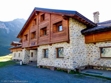
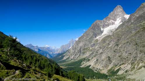
2017-08-05 · 08:04 · Courmayeur-Champex-Vallorcine
2017-08-05 · 08:04 · Courmayeur-Champex-Vallorcine
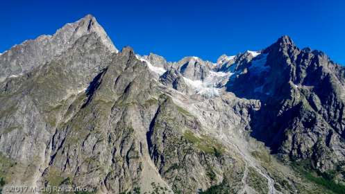
2017-08-05 · 08:17 · Courmayeur-Champex-Vallorcine
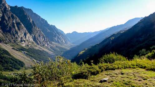
2017-08-05 · 08:17 · Courmayeur-Champex-Vallorcine
2017-08-05 · 08:17 · Courmayeur-Champex-Vallorcine
2017-08-05 · 08:17 · Courmayeur-Champex-Vallorcine
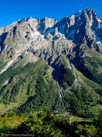
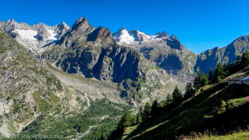
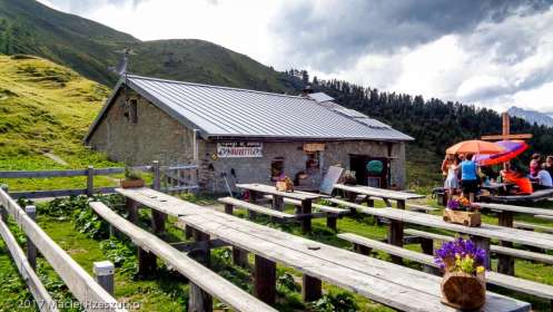
2017-08-05 · 08:56 · Courmayeur-Champex-Vallorcine
2017-08-05 · 08:56 · Courmayeur-Champex-Vallorcine
2017-08-05 · 09:31 · Courmayeur-Champex-Vallorcine
2017-08-05 · 09:31 · Courmayeur-Champex-Vallorcine

2017-08-05 · 09:32 · Courmayeur-Champex-Vallorcine
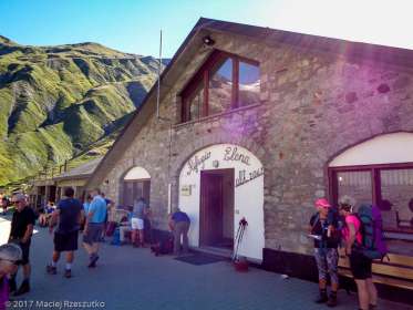
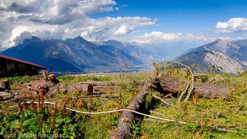
2017-08-05 · 10:13 · Courmayeur-Champex-Vallorcine

2017-08-05 · 10:13 · Courmayeur-Champex-Vallorcine
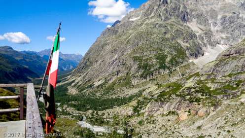
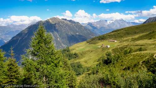
2017-08-05 · 10:14 · Courmayeur-Champex-Vallorcine
2017-08-05 · 10:14 · Courmayeur-Champex-Vallorcine
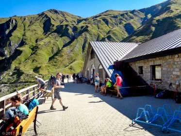
2017-08-05 · 10:47 · Courmayeur-Champex-Vallorcine
2017-08-05 · 10:47 · Courmayeur-Champex-Vallorcine
2017-08-05 · 10:48 · Courmayeur-Champex-Vallorcine
2017-08-05 · 10:58 · Courmayeur-Champex-Vallorcine
2017-08-05 · 11:08 · Courmayeur-Champex-Vallorcine
2017-08-05 · 11:08 · Courmayeur-Champex-Vallorcine

2017-08-05 · 11:09 · Courmayeur-Champex-Vallorcine
2017-08-05 · 11:09 · Courmayeur-Champex-Vallorcine
2017-08-05 · 11:10 · Courmayeur-Champex-Vallorcine

2017-08-05 · 11:33 · Courmayeur-Champex-Vallorcine

2017-08-05 · 11:33 · Courmayeur-Champex-Vallorcine
2017-08-05 · 11:33 · Courmayeur-Champex-Vallorcine
2017-08-05 · 11:55 · Courmayeur-Champex-Vallorcine
2017-08-05 · 11:55 · Courmayeur-Champex-Vallorcine
2017-08-05 · 12:29 · Courmayeur-Champex-Vallorcine
2017-08-05 · 13:43 · Courmayeur-Champex-Vallorcine

2017-08-05 · 14:50 · Courmayeur-Champex-Vallorcine
2017-08-05 · 16:38 · Courmayeur-Champex-Vallorcine
2017-08-05 · 16:38 · Courmayeur-Champex-Vallorcine
2017-08-05 · 16:47 · Courmayeur-Champex-Vallorcine
2017-08-05 · 17:21 · Courmayeur-Champex-Vallorcine